Home

Self service Meteorological Aviation
Service through the Internet, provided by the State Meteorological Agency (AEMET) through which the aeronautical users through restricted access, can access the reports and updated forecasts of both area and Aerodrome, which will inform existing and projected weather for their flight.
Sign In AMACharts and aeronauticals messages
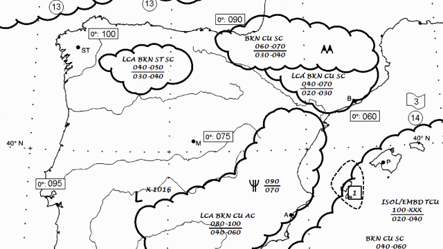
Aeronautical charts
It allows to search SIGWX and Wind and Temperature charts.

METAR, TAF and Warnings
Aerodrome observation and forecast.
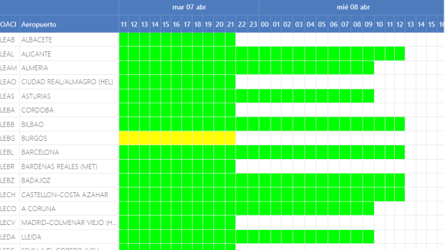
TAF board
TAF board is a temporary representation of the forecasted weather conditions for spanish airports.

SIGMET
Warnings on en-route significant weather phenomena.
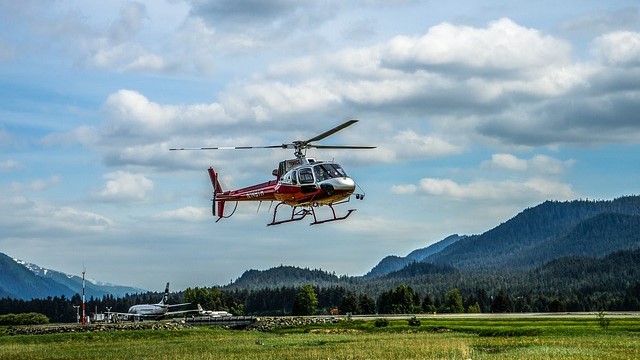
GAMET and AIRMET
Area forecast and warnings for low-level flights
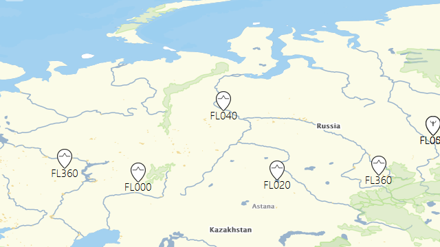
AIREP
World map shows all global active aireps.

Ash warnings
Images shown corresponds to the last warnings, in graphic format, originated by the Volcanic Ashes Advisory Centres (VAAC) worldwide.
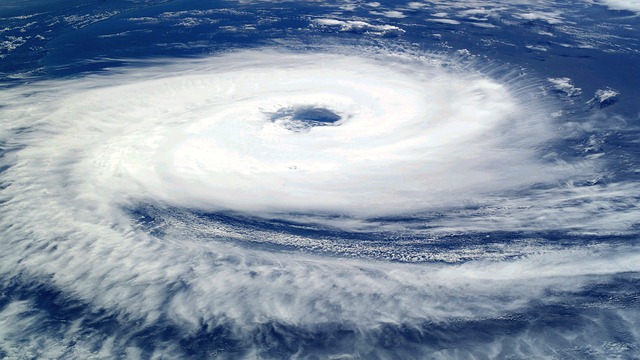
Ash and Cyclone SIGMET
A worldwide map is shown containing the location of FIR areas notified with volcanic or tropical cyclones SIGMET.
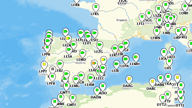
Products map
It shows a world map with different aeronautical meteorological products.

Spanish airport search
The airport search table allows you to see the data of each airport in detail.
Route generation
The route generation functionality offers relevant weather information for a trip between two airports worldwide.

Satellite, radar and lightning
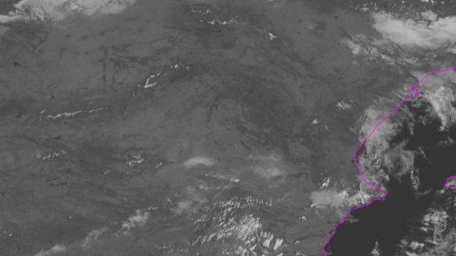
Hight resolution visible
High Resolution visible images product images from the last 3 hours are shown.
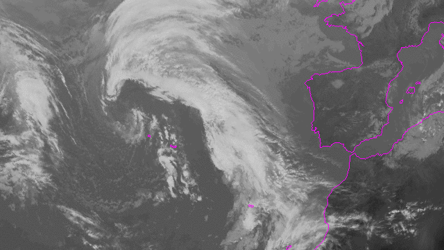
Infrared
Infraredproduct images fromthe last 3 hours are shown.
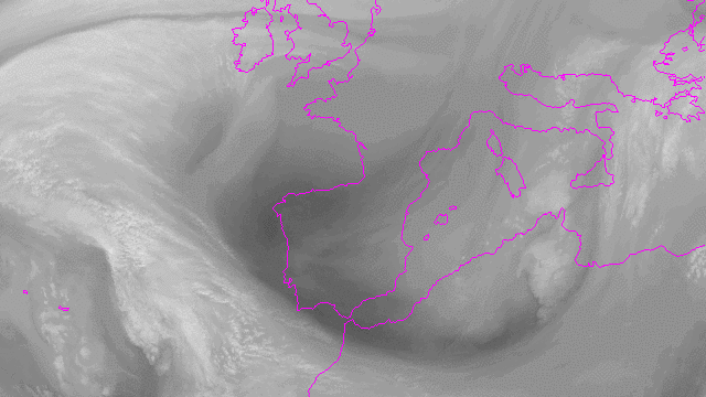
Water vapor
Water vapour product images from the last 3 hours are shown.
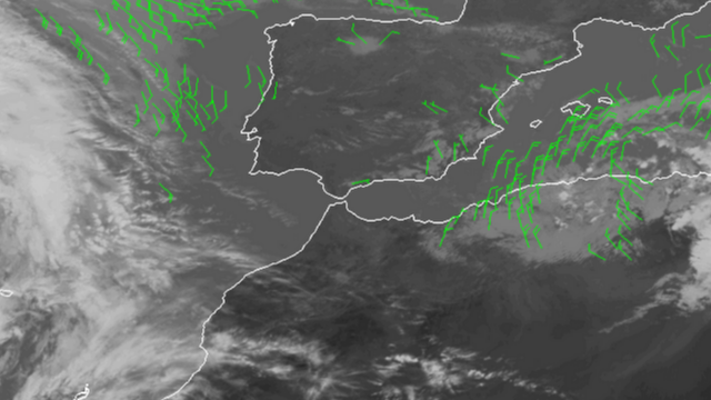
HR Winds
HR Winds product images from the last 3 hours are shown.
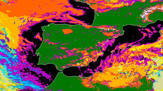
Cloud type
Cloud type product images of the last 3 hours are shown. The product contains information on the major cloud types: fractional clouds, semitransparent clouds, high, medium and low clouds (including fog).
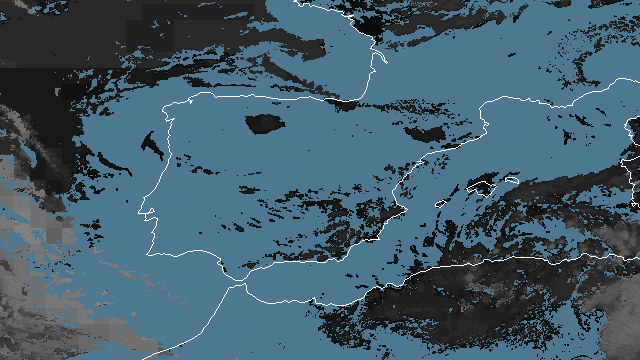
Cloud top
Cloud tops product images from the last 3 hours are shown.
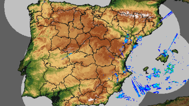
Meteorological radar
Images of meteorological radar.
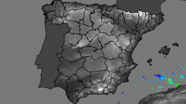
Lightnings
Represents detected lighntings in the region from the last six hours.
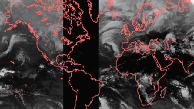
Worldwide satellites
Shows a composition of global images of the infrared channel of geostationary satellites Meteosat-9, Meteosat-7, MTSAT2, GOES-15 and GOES-13 from the last 24 hours.
Aeronautical climatology
Aeronautical climatologies of fifty-five Spanish aerodromes, made from the data obtained from the meteorological observations of the aerodrome.

Other forecast products
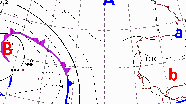
Surface pressure forecast
Shows the "Surface pressure forecast charts" predicted charts for the following 12, 24, 36, 48, 60 and 72 hours (Calculated from 12:00 of the current day).
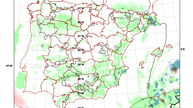
Cloudiness Composite Images
shows product images generated by the HIRLAM numerical model run (00, 06, 12, 18). Images up to 0/36 hours.
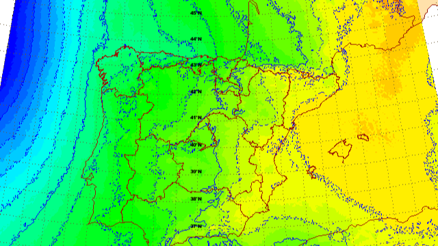
QNH
QNH product images generated by the HIRLAM numerical model run (00, 06, 12, 18). Images up to 0/36 hours ahead.
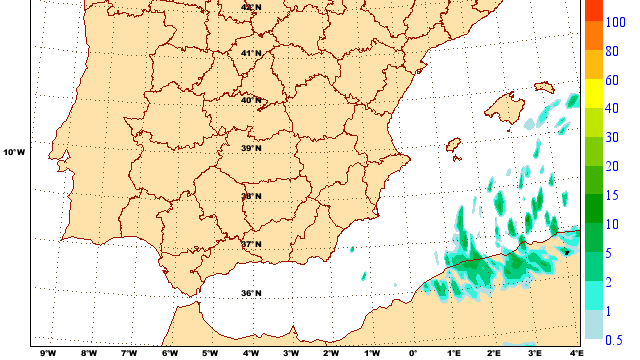
Rainfall
Rainfall product images generated by the HIRLAM numerical model run (00, 06, 12, 18). Images up to 0/36 hours ahead.
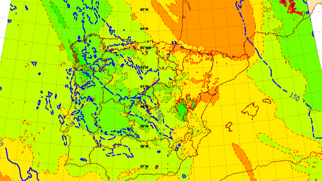
Freezing level
Shows expected "trihour" evolution from H+0 to H+36 of "Freezing level" product corresponding to the effective pass of HIRLAM model (00, 06, 12, 18).
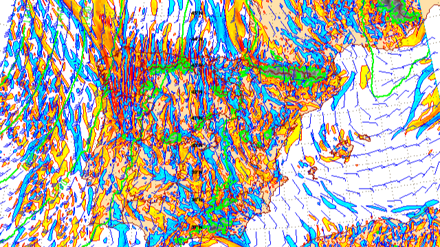
Wind shear
Shows expected "trihour" evolution from H+0 to H+36 of "Wind shear" product corresponding to the effective pass of HIRLAM model (00, 06, 12, 18).
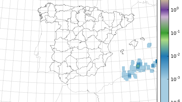
Lightning forecast
The images correspond to 6 hours-integration of forecasted electrical activity according AEMET method, Lightning per hour and square kilometer.
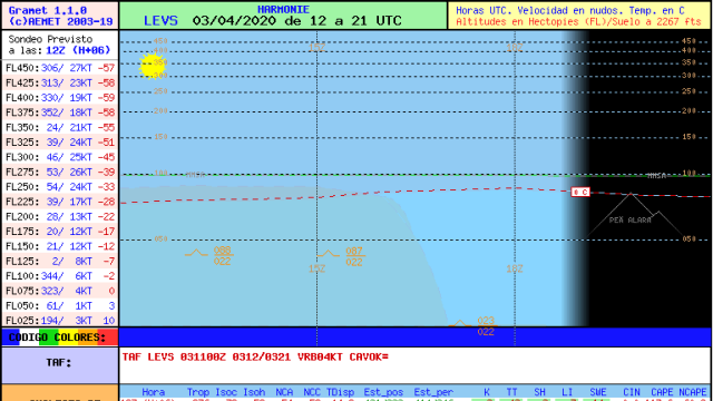
GRAMET
GRAMET is a local forecast graphic product of an aerodrome for a period of time equivalent to a short TAF (9 hours).
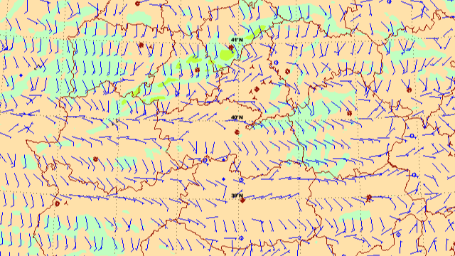
10-meter wind
Shows wind 10 meters above the ground in knots through images generated by the HARMONIE numerical model run (00,06,12,18). Images up to 0/48 hours ahead.
